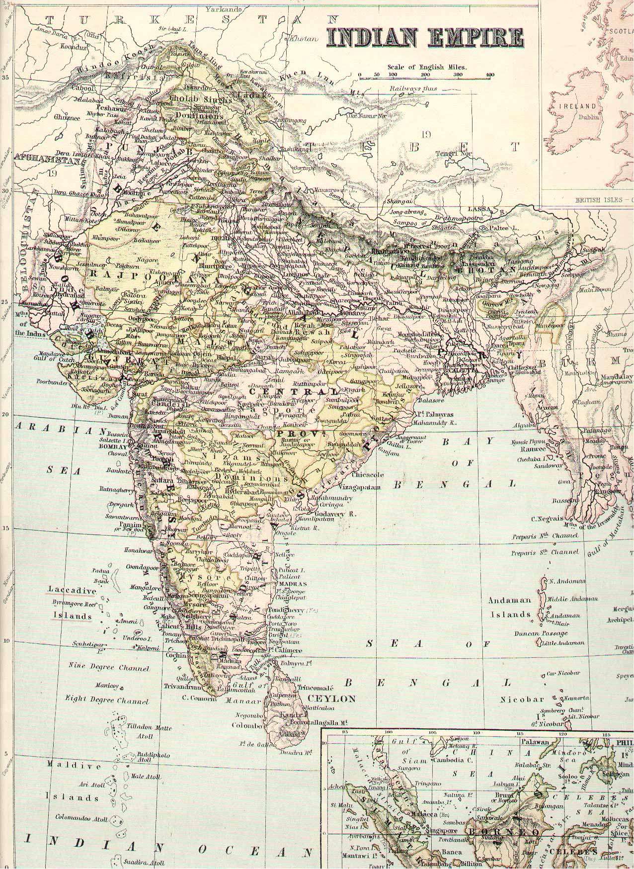
Political Map of India - 1875
Map scanned by Jill Grey from an old atlas, and made available by Ian Poyntz. Their permission to use this scanned image is gratefully acknowledged.
Map scanned by Jill Grey from an old atlas, and made available by Ian Poyntz. Their permission to use this scanned image is gratefully acknowledged.