The Sara [Hardinge] Bridge - From the Hooghly to the Himalayas (1913)
"From the Hooghly to the Himalayas" - Being an Illustrated Handbook to the chief places of interest reached by the Eastern Bengal State Railway, The Times Press, Bombay, 1913.
Made available by the Internet Archive.
Link: http://www.archive.org/details/cu31924011701566
Source: Library of the Cornell University
Selected and edited with comments by R Sivaramakrishnan. July 11, 2010.
This handbook contains interesting details of the bridge that was being constructed at Sara across the Ganges. It would eliminate the ferry crossing on the rail route from Calcutta to North Bengal and Assam, particularly to the hill station of Darjeeling. As of 1913, the broad gauge, Eastern Bengal State Railway’s main line from Calcutta, after 119 miles, reached the southern bank of the river at Damukdia, from where the passengers were ferried to Sara Ghat on the opposite bank, whence to board a metre gauge train that ran further north via Santahar and Parbatipur.
p. 25:
This [ferry crossing], so far as passengers are concerned, is simple. They go aboard a comfortable paddle steamer, and if crossing in the evening, immediately sit down to an excellent dinner while their luggage is being taken on. The actual crossing takes under half an hour, and, so long as it is not interrupted by a sand storm, which is harmful to the soup and to the temper, forms a pleasant interlude in the journey. The transhipment of goods is a more difficult problem, and the varying levels of the river and a break in gauge do not make it any easier. But a great proportion of the extensive goods traffic on this line crosses the river in trucks carried on specially constructed flats towed over by paddle steamers. It is an expensive system and so long ago as 1889 the administration of the Eastern Bengal State Railway put forward a proposal for bridging the 'Ganges at Sara. Nineteen years later, after much discussion as to the site of the bridge, a scheme was sanctioned and Mr. R. R. Gales was appointed Engineer-in-Chief of the project. Thus the ferry system is doomed, and the bridge will shortly provide through rail communication between the jute-growing area to the north-east of the site and Calcutta. A very large traffic in wheat and seeds from the area to the north-west is also expected, and the gain in convenience, by obviating the present double transhipment and delay, is expected to lead to a large increase in the passenger traffic between Darjeeling and Shillong and Calcutta…...
The bridge at Sara was the most important engineering scheme then being carried out in India, and in some respects one of the most notable in any part of the world:
The difficulty that here confronts the engineer is not how to span a mile or so of water, but how to train the river, which has frequently changed its course, not to desert the bridge when built. Thus after the site had been selected (9 miles below Raita, the present railway terminus on the right bank, and 3 miles below Sara, the present terminus on the left bank) almost the first thing to do was to build banks to control the water. A pair of guide banks have for this purpose been constructed at the bridge site to prevent further lateral movement of the river, and a revetment of the bank of the river has been built at Sara Ghat Station and another revetment at Raita Ghat Station. When it is understood that the annual rise of the river in flood time is 31 feet and that there is a maximum flood discharge at this point of 2,500,000 cusecs, it will be seen that the training works have to be of great strength. [It] has computed that the amount of stone used in "pitching " these guide banks of sand and clay would fill a broad-gauge train extending from Calcutta to Darjeeling, and this gives a vivid idea of the magnitude of the task.
Work on the bridge itself was begun in 1911. It consisted of 15 spans of 352 feet and two land spans of 75 feet, a total length of 5,430 feet. It provided for a double line, and the broad-gauge was to be extended 52 miles to Santahar, to make it the changing station for to the metre-gauge system to Darjeeling and Assam
The bridge is to be carried on 16 piers for which well foundations – 150 feet deep and 63 feet long by 37 feet wide - have been sunk. The great depth of the wells, the deepest in the world, is necessary owing to the scouring action of the river, and has been obtained by direct dredging with plant electrically driven from two power houses, one on each bank. The piers are formed of concrete blocks above the steel caissons, and of steel trestles above high flood level…… On the left bank the approach is about 4 miles long and for 2,000 feet of that length is at the unusual height of 50 feet above the surrounding country: on the right bank the approach is three miles long…… It is estimated that the whole undertaking will cost Rs. 4,76,68,863. It is a colossal figure….
The wells required “36,00,000 cubic feet of 1½ stone ballast, 20,00,000 cubic feet of sand, 125,000 casks of Portland cement and 7,906 tons steel work.” Land acquisition amounted to nearly 4,800 acres.
A very interesting stage of the construction on the Sara side of the river was reached in June, 1913, when, after some weeks of anxiety lest the work should be ruined by floods, the first main span of girders was erected together with the service girder which is to perform the functions of the ordinary timber staging for the deep water spans. The last piece of main girder was received at Paksey on the 20th May, and the last piece of service girder on the 29th May. The service girder weighing 870 tons was erected and struck almost fully rivetted on the 14th June and the main span weighing 1,200 tons was erected and struck on the 17th June. This span is carried on 40 per cent, of parallel drifts fully filling the holes and sixty per cent, of service bolts. The floods began to rise on the 15th June and submerged the piles of the staging on the 18th June. The bridge-builders were just in time, and the nicety of their calculation was remarkable.
As with the other EBSR ferries between Lalgolaghat and Godagarighat, between Amingaon and Pandu, and between Fulchhari and Bahadurabad, and that at Maniharighat (worked by the East Indian Railway)
the rivers are continually shifting and shoaling when the water is dropping, often with very little notice. These alterations of the rivers frequently necessitate the shifting of the ghats, and it is sometimes necessary to move the ghats several miles in order to get good water. As it is sometimes necessary to open new ghats at each place, two and three times in a year, the labour and expense of keeping them open are very great.
Besides, ……the break of gauge at Sara, Godagari and Maniharighat, added to the difficulty of working these transshipments…
The first trial run was conducted bridge on 1 January 1915. It
“might have been ready at an earlier date had there not been strikes in England, which delayed the shipment of girders and an outbreak of cholera among the army of coolies (at one time amounting to 25,000) employed on the work.”
The bridge was formally inaugurated on 4 March 1915 by the Viceroy, Lord Hardinge, after whom it was named.
As a bonus, the handbook includes some photographs
p. 26: “Loading Wagons on Flats, Sara Ferry."
p. 27: “Wagon Ferry, Sara.”
p. 28: “River Bank by Sara Bridge.”
p. 29: Two “general views of the Sara Bridge under construction”
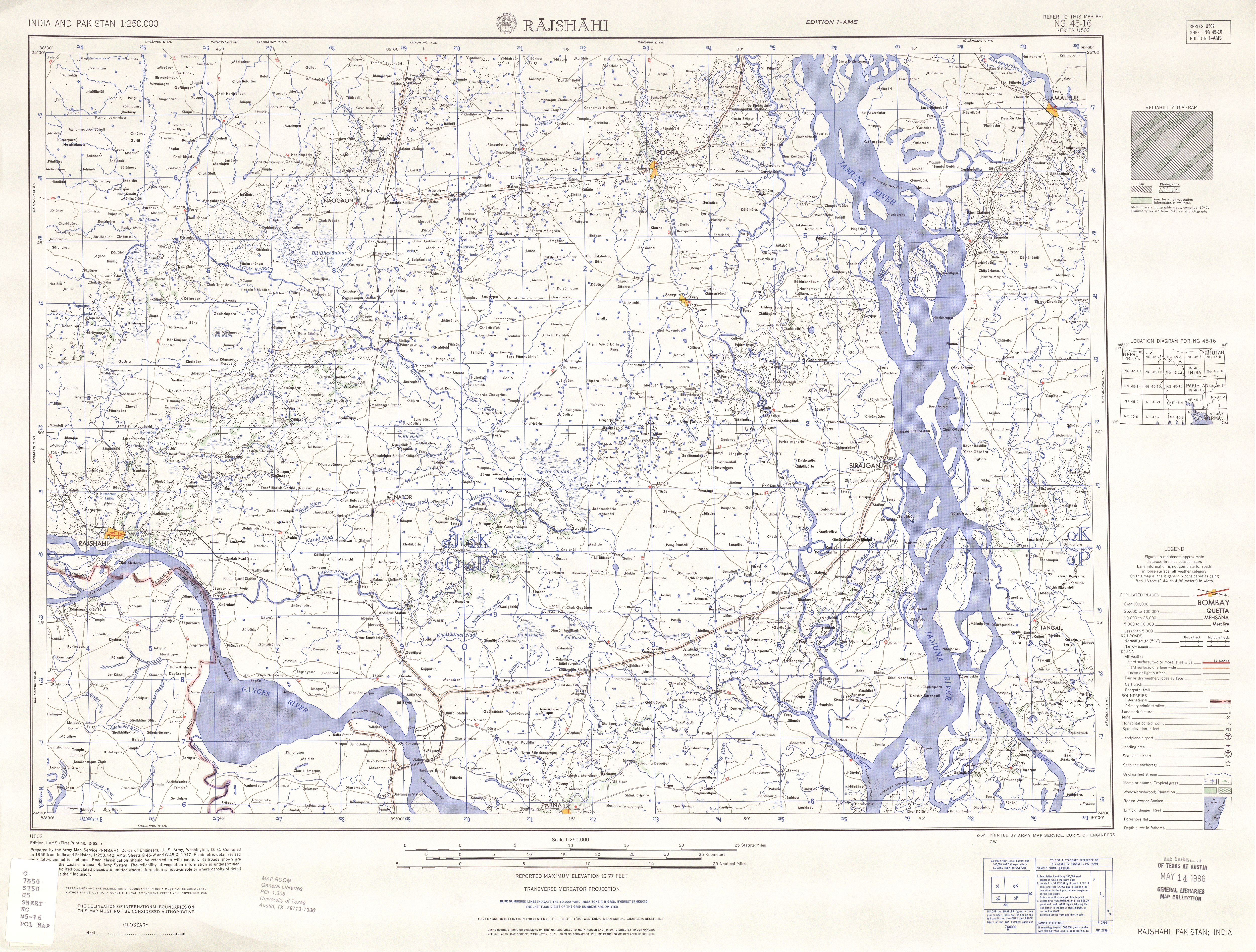
The locations of Damukdia, Raita and Sara, as well as of the Hardinge Bridge can be studied in the Rajshahi sheet of the 1:250,000 AMS series of topographic maps (1955) in the Perry-Castaneda Collection of the University of Texas at Austin: http://www.lib.utexas.edu/maps/ams/india/txu-oclc-6614190-ng45-16.jpg